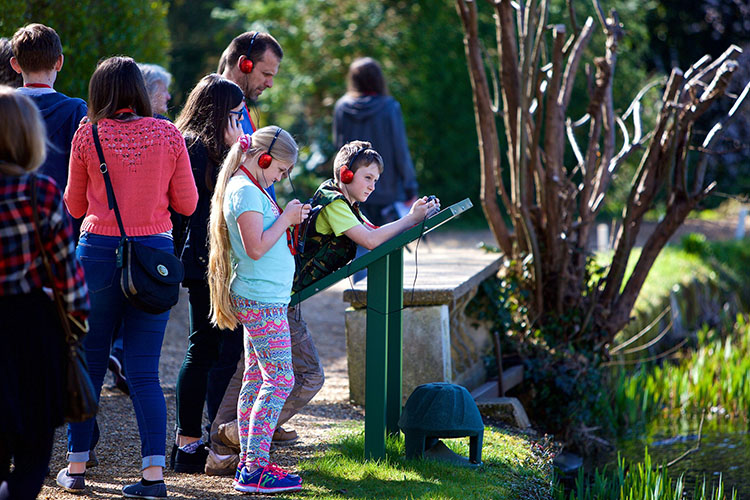


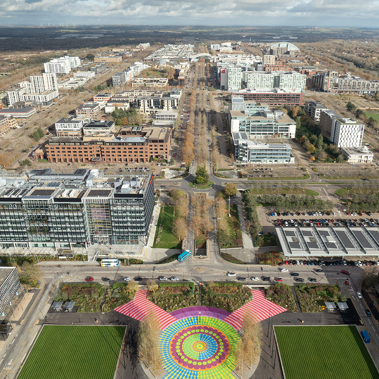
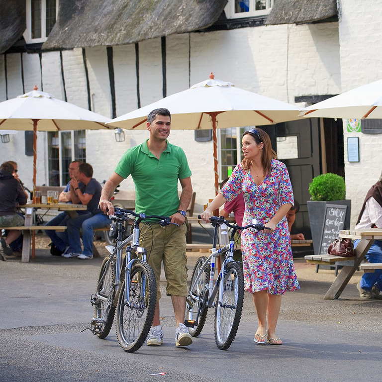
plan your visit
Whether you are planning a family day out, a weekend escape, or a business trip, Milton Keynes offers something for everyone — explore our pages and resources to help you plan your time in the city.


INFORMATION
VISITOR
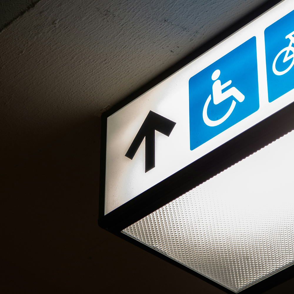
ACCESSIBILITY
Milton Keynes is widely regarded as one of the more accessible destinations in the UK thanks to its modern layout, wide pavements, extensive pedestrian routes, step-free shopping centres and accessible transport options.
Get practical accessibility information for visitors with mobility needs, sensory impairments, neurodivergent travellers, and families requiring additional support.