MILTON KEYNES IS SO EASY TO GET AROUND

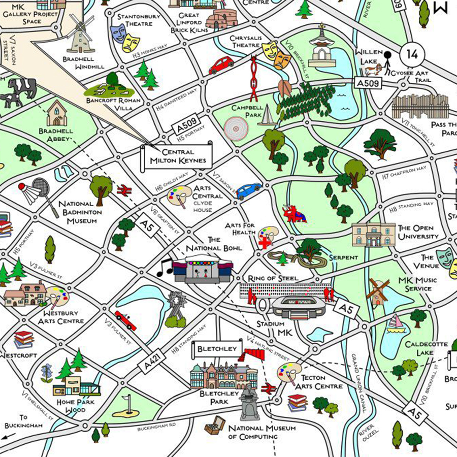
The city is well-suited for many forms of transport; whether you’re walking, cycling, driving or using public transport.

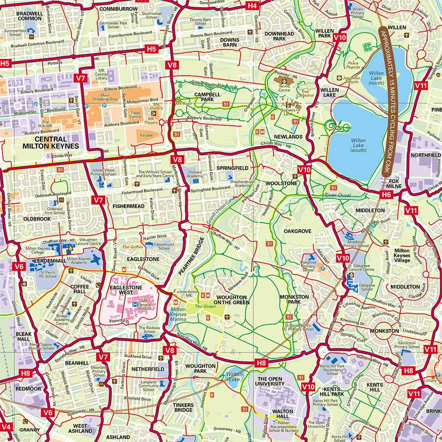
For a start, there’s the 200 miles of Redway cycling and walking paths, criss-crossing the city from city centre to suburbs, you’ll never cross a major road, so they’re as safe as can be, and sustainable too.

13 ‘Super Routes’ roughly follow the road grid system, linking key destinations, areas, transport hubs and venues. And we’re always improving, upgrading and developing access routes across the city.

To plan your journey on an interactive map CLICK HERE

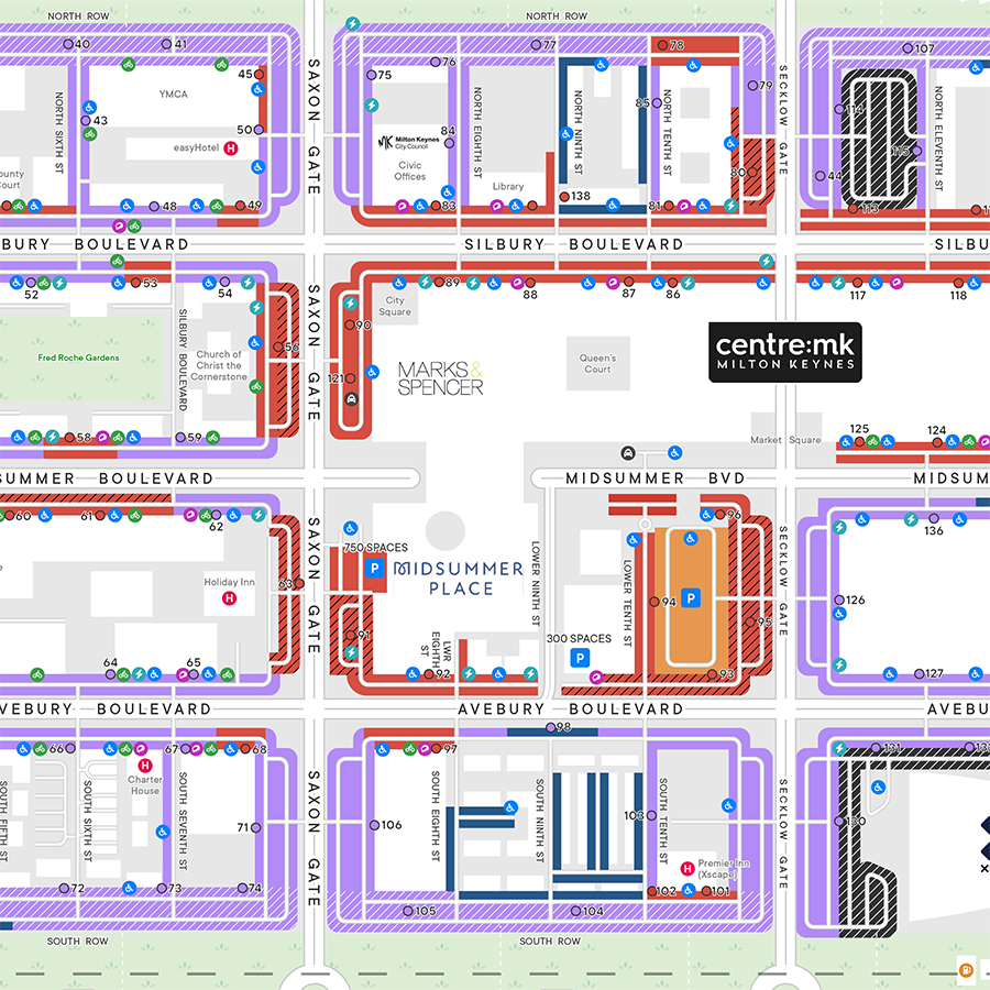
You can also view the main bus stops in across Milton Keynes via this INTERACTIVE MAP

Attractions Map

Download our handy map to view where all the main attractions are located across Milton Keynes including the shopping centres, Stadium MK, Bletchley Park, Willen Lake and more...

DOWNLOAD

Central Milton Keynes Parking Map

If you're traveling to Central Milton Keynes by car and want to find out where you can park and the various charges, download our map below. Remember parking in Central Milton Keynes is FREE between 6pm-7am everyday.

DOWNLOAD

Milton Keynes Redway Map

Milton Keynes is famous for its extensive network of Redways — dedicated paths for cyclists and pedestrians. These safe and scenic routes connect parks, shopping areas, attractions, and residential districts, making walking and cycling enjoyable ways to explore the city.

DOWNLOAD

HELP PLANNING YOUR JOURNEY

The online Journey Planner can be used to plan a walking or cycling route to any destinations or attractions that you want to visit.

The Interactive Map includes the Millennium and Cultural cycling routes as well as information such as cycle parking locations and docking stations for the Santander hire bikes.

JOURNEY PLANNER
INTERACTIVE MAP